Fáìlì:Map-Europe 1815-Netherlands.svg

Size of this PNG preview of this SVG file: 710 × 600 pixels. Àwọn ìgbéhàn míràn: 284 × 240 pixels | 569 × 480 pixels | 910 × 768 pixels | 1,213 × 1,024 pixels | 2,426 × 2,048 pixels | 9,086 × 7,672 pixels.
Fáìlì àtìbẹ̀rẹ̀ (faili SVG, pẹ̀lú 9,086 × 7,672 pixels, ìtòbi faili: 1.73 MB)
|
|
Fáìlì yìí wá láti Wikimedia Commons. Àròyé láti ojúewé ìjúwe rẹ̀ níbẹ̀ nìyí nísàlẹ̀. |
Àkótán
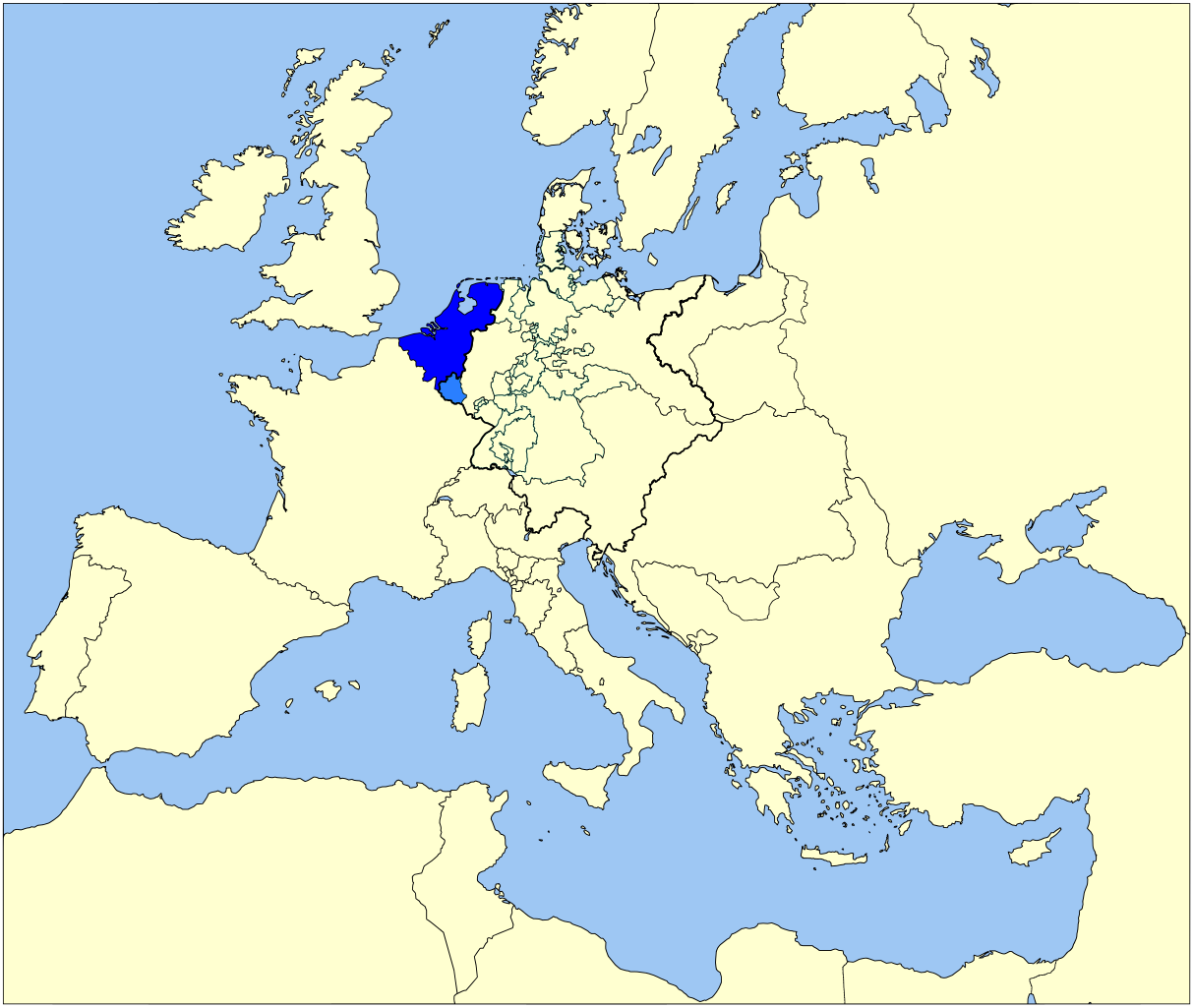
| Ìjúwe | Map of the United Kingdom of the Netherlands (1815-1830) in Europe |
| Ọjọ́ọdún | |
| Orísun | Based on Image:Map-GermanConfederation.svg by User:52_Pickup |
| Olùdá | User:Sir_Iain, User:52_Pickup |
Ìwé àṣẹ
Èmi gangan, tó jẹ́ pé èmi ni mo ni ẹ̀tọ́àwòkọ iṣẹ́ yìí, fara mọ́ ọ láti tẹ̀ẹ́jáde lábẹ́ àwọn ìwé-àṣẹ ìsàlẹ̀ yìí:

|
Ìyọ̀nda wà láti ṣe àwòkọ, láti pínkàkiri àti/tàbí ṣ'àtúnse ìwé yìí l'ábẹ́ àwọn ọ̀rọ̀ àdéhùn GNU Free Documentation License, Version 1.2 tàbí ìtẹ̀jáde ọjọ́ọwájú lát'ọwọ́ Free Software Foundation; láìsí àwọn Ẹsẹ Aláìyàtọ̀, láìsí àwọn Ọ̀rọ̀-ìwé Níwájú, àti láìsí Ọ̀rọ̀-ìwé Lẹ́yìn. Àwòkọ ìwé àṣẹ náà jẹ́ sísopọ̀ mọ́ abala tí àkọlé rẹ̀ jẹ́ GNU Free Documentation License. |
Fáìlì yìí wà lábẹ́ ìwé àṣẹ Creative Commons Ìdálórúkọ 3.0 Aláìkówọlé.
- Ẹ ní ààyè:
- láti pín pẹ̀lú ẹlòmíràn – láti ṣàwòkọ, pínkiri àti ṣàgbéká iṣẹ́ náà
- láti túndàpọ̀ – láti mulò mọ́ iṣẹ́ míràn
- Lábẹ́ àwọn àdéhùn wọ̀nyí:
- ìdárúkọ – Ẹ gbọdọ̀ ṣe ọ̀wọ̀ tó yẹ, pèsè ìjápọ̀ sí ìwé-àṣe, kí ẹ sì sọ bóyá ìyípadà wáyé. Ẹ le ṣe èyí lórísi ọ̀nà tó bojúmu, sùgbọ́n tí kò ní dà bii pé oníìwé-àṣe fọwọ́ sí yín tàbí lílò yín.
Ẹ le ṣàmúyàn ìwé-àṣẹ tí ó wù yín.
Ìtàn fáìlì
Ẹ kan kliki lórí ọjọ́ọdún/àkókò kan láti wo fáìlì ọ̀ún bó ṣe hàn ní àkókò na.
| Ọjọ́ọdún/Àkókò | Àwòrán kékeré | Àwọn ìwọ̀n | Oníṣe | Àríwí | |
|---|---|---|---|---|---|
| lọ́wọ́ | 13:46, 7 Oṣù Kẹ̀sán 2007 | | 9,086 × 7,672 (1.73 MB) | Sir Iain | {{Information |Description=Map of the United Kingdom of The Netherlands (1815-1830) in Europe |Source=Based on Image:Map-GermanConfederation.svg by User:52_Pickup |Date=5 sept 2007 |Author=User:Sir_Iain, User:52_Pickup |Permission= |other_ |
Ìlò fáìlì
Ojúewé kan yìí únlo fáìlì yí:
Ìlò fáìlì káàkiri
Àwọn wiki míràn wọ̀nyí lo fáìlì yìí:
- Ìlò ní be.wikipedia.org
- Ìlò ní br.wikipedia.org
- Ìlò ní en.wikipedia.org
- Ìlò ní he.wikipedia.org
- Ìlò ní lt.wikipedia.org
- Ìlò ní mr.wikipedia.org
- Ìlò ní nl.wikipedia.org
- Ìlò ní pl.wikipedia.org
- Ìlò ní pt.wikipedia.org
- Ìlò ní ro.wikipedia.org
- Ìlò ní simple.wikipedia.org
- Ìlò ní sv.wikipedia.org
- Ìlò ní tr.wikipedia.org
- Ìlò ní zh.wikipedia.org