Fáìlì:Dominicana Locator.png
Kò sí ìgbéhàn gíga jù báun lọ.
Dominicana_Locator.png (351 × 328 pixel, ìtóbi faili: 6 KB, irú MIME: image/png)
|
|
Fáìlì yìí wá láti Wikimedia Commons. Àròyé láti ojúewé ìjúwe rẹ̀ níbẹ̀ nìyí nísàlẹ̀. |
| Ìjúwe |
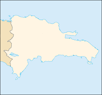
English: Blank map of the Dominican Republic |
| Ọjọ́ọdún | |
| Orísun | CIA World Factbook |
| Olùdá |
|

|
This locator map image could be re-created using vector graphics as an SVG file. This has several advantages; see Commons:Media for cleanup for more information. If an SVG form of this image is available, please upload it and afterwards replace this template with
{{vector version available|new image name}}.
It is recommended to name the SVG file “Dominicana Locator.svg”—then the template Vector version available (or Vva) does not need the new image name parameter. |
This image is in the public domain because it contains materials that originally came from the United States Central Intelligence Agency's World Factbook.
|
 |
Ìtàn fáìlì
Ẹ kan kliki lórí ọjọ́ọdún/àkókò kan láti wo fáìlì ọ̀ún bó ṣe hàn ní àkókò na.
| Ọjọ́ọdún/Àkókò | Àwòrán kékeré | Àwọn ìwọ̀n | Oníṣe | Àríwí | |
|---|---|---|---|---|---|
| lọ́wọ́ | 21:28, 2 Oṣù Kẹfà 2007 | | 351 × 328 (6 KB) | Obersachse | {{Information |Description= |Source= |Date=2007-06-01 |Author=user:Obersachse |Permission= |other_versions= }} {{PD-USGov-CIA-WF}} |
Ìlò fáìlì
Ojúewé kan yìí únlo fáìlì yí:
Ìlò fáìlì káàkiri
Àwọn wiki míràn wọ̀nyí lo fáìlì yìí:
- Ìlò ní de.wikipedia.org
- Ìlò ní fr.wikipedia.org
- Ìlò ní ro.wikipedia.org
- Ìlò ní sah.wikipedia.org
- Ìlò ní tr.wikipedia.org
- Ìlò ní zh.wikipedia.org