Fáìlì:Romania (orthographic projection).svg

Size of this PNG preview of this SVG file: 553 × 553 pixels. Àwọn ìgbéhàn míràn: 240 × 240 pixels | 480 × 480 pixels | 768 × 768 pixels | 1,024 × 1,024 pixels | 2,048 × 2,048 pixels.
Fáìlì àtìbẹ̀rẹ̀ (faili SVG, pẹ̀lú 553 × 553 pixels, ìtòbi faili: 305 KB)
|
|
Fáìlì yìí wá láti Wikimedia Commons. Àròyé láti ojúewé ìjúwe rẹ̀ níbẹ̀ nìyí nísàlẹ̀. |
.svg)
Àkótán
| Ìjúwe |
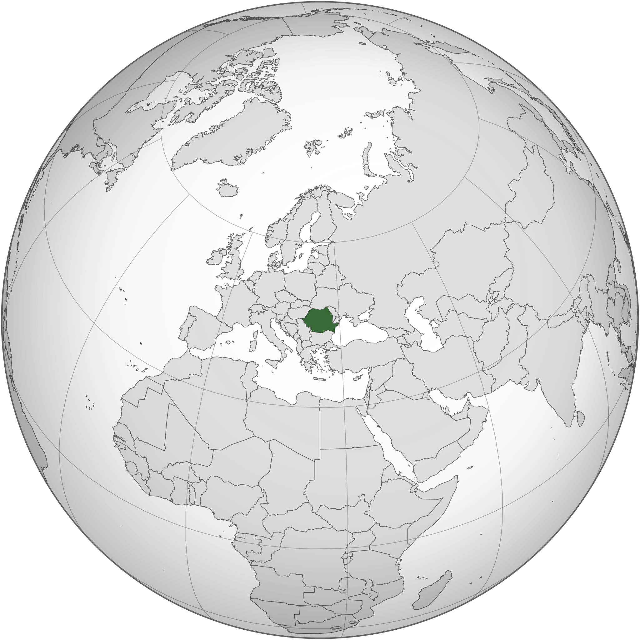
English: Romania and the EU orthographic projection
Română: România în cadrul UE. |
| Ọjọ́ọdún | |
| Orísun |
This W3C-unspecified vector image was created with Inkscape . |
| Olùdá | Luciandrei |
.svg)
Ìwé àṣẹ
Fáìlì yìí wà lábẹ́ ìwé àṣẹ Creative Commons Ìdálórúkọ-Share Alike 3.0 Aláìkówọlé.
- Ẹ ní ààyè:
- láti pín pẹ̀lú ẹlòmíràn – láti ṣàwòkọ, pínkiri àti ṣàgbéká iṣẹ́ náà
- láti túndàpọ̀ – láti mulò mọ́ iṣẹ́ míràn
- Lábẹ́ àwọn àdéhùn wọ̀nyí:
- ìdárúkọ – Ẹ gbọdọ̀ ṣe ọ̀wọ̀ tó yẹ, pèsè ìjápọ̀ sí ìwé-àṣe, kí ẹ sì sọ bóyá ìyípadà wáyé. Ẹ le ṣe èyí lórísi ọ̀nà tó bojúmu, sùgbọ́n tí kò ní dà bii pé oníìwé-àṣe fọwọ́ sí yín tàbí lílò yín.
- share alike – Tó bá ṣe pé ẹ ṣ'àtúndàlú, ṣàyípadà, tàbí ṣ'àgbélé sí iṣẹ́-ọwọ́ náà, ẹ lè ṣe ìgbésíta àfikún yín lábẹ́ ìwé-àṣẹ kannáà tàbí tójọra mọ́ ti àtilẹ̀wa.
Ìtàn fáìlì
Ẹ kan kliki lórí ọjọ́ọdún/àkókò kan láti wo fáìlì ọ̀ún bó ṣe hàn ní àkókò na.
| Ọjọ́ọdún/Àkókò | Àwòrán kékeré | Àwọn ìwọ̀n | Oníṣe | Àríwí | |
|---|---|---|---|---|---|
| lọ́wọ́ | 18:34, 18 Oṣù Ẹ̀rẹ̀nà 2015 | | 553 × 553 (305 KB) | Flappiefh | Added South Sudan. |
| 04:01, 27 Oṣù Ọ̀pẹ̀ 2014 |  | 541 × 541 (463 KB) | Grachifan | Reverted to version as of 20:19, 6 September 2012 it's no necesary to show european union, just the location of romania | |
| 20:55, 6 Oṣù Òwéwe 2012 |  | 541 × 541 (633 KB) | TUBS | rv: Din't you get the theo other areas shows EU and the continent of Europe. It's maybe not the greatest map on Earth. It's no WWII thing, though. | |
| 20:19, 6 Oṣù Òwéwe 2012 |  | 541 × 541 (463 KB) | Incnis Mrsi | sorry, but the title reads "Romania (orthographic projection)", not "Romania, its fascist allies, their occupied territories and all lands yet to be conquered" ☺ | |
| 11:17, 10 Oṣù Ẹ̀rẹ̀nà 2010 |  | 541 × 541 (633 KB) | Luciandrei | mici modificari | |
| 11:12, 10 Oṣù Ẹ̀rẹ̀nà 2010 |  | 541 × 541 (633 KB) | Luciandrei | {{Information |Description={{en|1=Romania and the EU orthographic projection}} {{ro|1=România în cadrul UE.}} |Source=This map is based on:File:Europe_(orthographic_projection).svg by User:Ssolbergj |Author=Luciandrei |Date= |
.svg)
Ìlò fáìlì
Kò sí ojúewé tó únlo fáìlì yìí.
Ìlò fáìlì káàkiri
Àwọn wiki míràn wọ̀nyí lo fáìlì yìí:
- Ìlò ní af.wikipedia.org
- Ìlò ní az.wiktionary.org
- Ìlò ní be.wikipedia.org
- Ìlò ní en.wikipedia.org
- Ìlò ní es.wikipedia.org
- Ìlò ní fr.wiktionary.org
- Ìlò ní ha.wikipedia.org
- Ìlò ní id.wikipedia.org
- Ìlò ní incubator.wikimedia.org
- Ìlò ní ka.wikipedia.org
- Ìlò ní mzn.wikipedia.org
- Ìlò ní ro.wikibooks.org
- Ìlò ní ru.wikipedia.org
- Ìlò ní rw.wikipedia.org
.svg)