Fáìlì:Tinghir large.jpg

Ìtóbi ìkọ́yẹ̀wò yìí: 800 × 600 pixels. Àwọn ìgbéhàn míràn: 320 × 240 pixels | 640 × 480 pixels | 1,024 × 768 pixels.
Fáìlì àtìbẹ̀rẹ̀ (1,024 × 768 pixel, ìtóbi faili: 405 KB, irú MIME: image/jpeg)
|
|
Fáìlì yìí wá láti Wikimedia Commons. Àròyé láti ojúewé ìjúwe rẹ̀ níbẹ̀ nìyí nísàlẹ̀. |
Àkótán
| Ìjúwe |
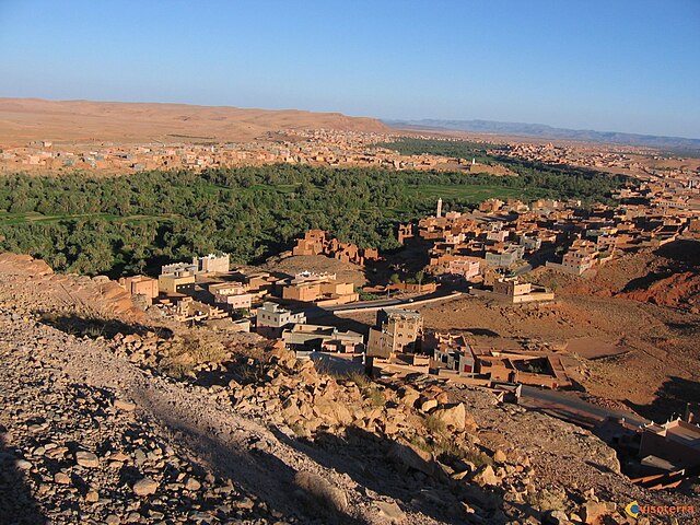
English: large picture tinghir |
| Orísun | Iṣẹ́ onítọ̀hún |
| Olùdá | Not414 |
| Camera location | | View this and other nearby images on: OpenStreetMap |
|---|
Ìwé àṣẹ
| Èmi gangan, tó jẹ́ pé èmi ni mo ni ẹ̀tọ́àwòkọ iṣẹ́ yìí, jọ̀wọ́ ìṣẹ́ yìí sínú ìgboro. Èyí kan gbogbo ayé. In some countries this may not be legally possible; if so: I grant anyone the right to use this work for any purpose, without any conditions, unless such conditions are required by law. |
Ìtàn fáìlì
Ẹ kan kliki lórí ọjọ́ọdún/àkókò kan láti wo fáìlì ọ̀ún bó ṣe hàn ní àkókò na.
| Ọjọ́ọdún/Àkókò | Àwòrán kékeré | Àwọn ìwọ̀n | Oníṣe | Àríwí | |
|---|---|---|---|---|---|
| lọ́wọ́ | 08:24, 24 Oṣù Ògún 2018 | | 1,024 × 768 (405 KB) | 4nn1l2 | Reverted to version as of 07:35, 12 June 2009 (UTC) COM:OW |
| 15:43, 23 Oṣù Ògún 2018 |  | 4,608 × 2,592 (3.97 MB) | ISCH STAR | Better resolution, stable horizon, nearly the same point of view | |
| 07:35, 12 Oṣù Òkúdu 2009 |  | 1,024 × 768 (405 KB) | Not414 | {{Information |Description={{en|1=large picture tinghir}} |Source=Own work by uploader |Author=Not414 |Date= |Permission= |other_versions= }} <!--{{ImageUpload|full}}--> |
Ìlò fáìlì
Ojúewé kan yìí únlo fáìlì yí:
Ìlò fáìlì káàkiri
Àwọn wiki míràn wọ̀nyí lo fáìlì yìí:
- Ìlò ní ar.wikipedia.org
- Ìlò ní ary.wikipedia.org
- Ìlò ní ca.wikipedia.org
- Ìlò ní ceb.wikipedia.org
- Ìlò ní de.wikipedia.org
- Ìlò ní de.wikivoyage.org
- Ìlò ní en.wikipedia.org
- Ìlò ní en.wikivoyage.org
- Ìlò ní es.wikipedia.org
- Ìlò ní fr.wikipedia.org
- Ìlò ní ha.wikipedia.org
- Ìlò ní he.wikipedia.org
- Ìlò ní ig.wikipedia.org
- Ìlò ní it.wikipedia.org
- Ìlò ní ja.wikipedia.org
- Ìlò ní lt.wikipedia.org
- Ìlò ní pt.wikipedia.org
- Ìlò ní sv.wikipedia.org
- Ìlò ní sw.wikipedia.org
- Ìlò ní www.wikidata.org
- Ìlò ní zh-min-nan.wikipedia.org
- Ìlò ní zu.wikipedia.org