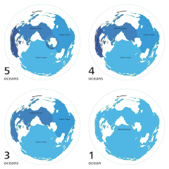
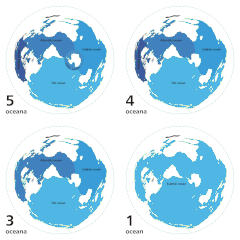
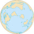
Fáìlì:World ocean map.gif
World_ocean_map.gif (500 × 500 pixel, ìtóbi faili: 68 KB, irú MIME: image/gif, lílọ́po, fèrèsé àwòrán 4, 10 s)
Ìtàn fáìlì
Ẹ kan kliki lórí ọjọ́ọdún/àkókò kan láti wo fáìlì ọ̀ún bó ṣe hàn ní àkókò na.
| Ọjọ́ọdún/Àkókò | Àwòrán kékeré | Àwọn ìwọ̀n | Oníṣe | Àríwí | |
|---|---|---|---|---|---|
| lọ́wọ́ | 04:12, 8 Oṣù Kẹrin 2007 |  | 500 × 500 (68 KB) | Quizatz Haderach | Animated world ocean map! |
Ìlò fáìlì
Àwọn ojúewé 2 wọ̀nyí únlo fáìlì yí:
Ìlò fáìlì káàkiri
Àwọn wiki míràn wọ̀nyí lo fáìlì yìí:
- Ìlò ní ab.wikipedia.org
- Ìlò ní am.wikipedia.org
- Ìlò ní ang.wikipedia.org
- Ìlò ní arc.wikipedia.org
- Ìlò ní ar.wikipedia.org
- Ìlò ní as.wikipedia.org
- Ìlò ní ban.wikipedia.org
- Ìlò ní ba.wikipedia.org
- Ìlò ní bcl.wikipedia.org
- Ìlò ní bg.wikipedia.org
- Ìlò ní bi.wikipedia.org
- Ìlò ní bjn.wikipedia.org
- Ìlò ní blk.wikipedia.org
- Ìlò ní bn.wikipedia.org
- Ìlò ní br.wikipedia.org
- Ìlò ní bs.wikipedia.org
- Ìlò ní bxr.wikipedia.org
- Ìlò ní ca.wikipedia.org
- Ìlò ní ce.wikipedia.org
- Ìlò ní ch.wikipedia.org
- Ìlò ní crh.wikipedia.org
- Ìlò ní da.wikipedia.org
- Ìlò ní de.wiktionary.org
- Ìlò ní diq.wikipedia.org
- Ìlò ní el.wikipedia.org
- Ìlò ní en.wikipedia.org
Ìfihàn ìlò míràn púpọ̀ fún fálì yìí.


